
Monte Toro topographic map
Interactive map
Click on the map to display elevation.
About this map
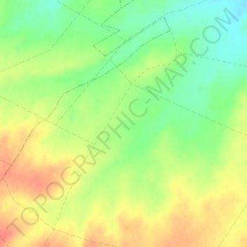
Name: Monte Toro topographic map, elevation, terrain.
Location: Monte Toro, Guarrate, Zamora, Castilla y León, España (41.30200 -5.52446 41.32200 -5.50446)
Average elevation: 2,621 ft
Minimum elevation: 2,526 ft
Maximum elevation: 2,710 ft