
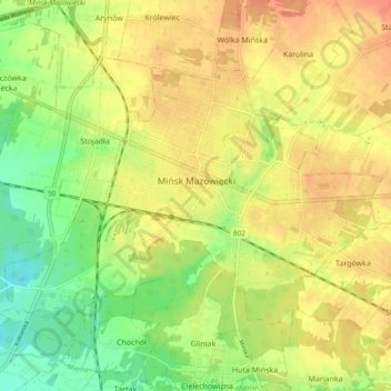
Mińsk Mazowiecki topographic map
Interactive map
Click on the map to display elevation.
About this map
Name: Mińsk Mazowiecki topographic map, elevation, terrain.
Location: Mińsk Mazowiecki, powiat miński, Woiwodschaft Masowien, Polen (52.15987 21.50937 52.19806 21.60387)
Average elevation: 495 ft
Minimum elevation: 410 ft
Maximum elevation: 564 ft