
Werl topographic map
Interactive map
Click on the map to display elevation.
About this map
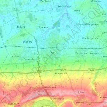
Name: Werl topographic map, elevation, terrain.
Location: Werl, Kreis Soest, Noordrijn-Westfalen, 59457, Duitsland (51.50876 7.82709 51.59581 7.99856)
Average elevation: 400 ft
Minimum elevation: 233 ft
Maximum elevation: 804 ft