
Tingo topographic map
Interactive map
Click on the map to display elevation.
About this map
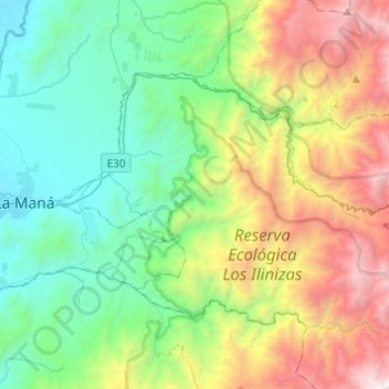
Name: Tingo topographic map, elevation, terrain.
Location: Tingo, Pujilí, Cotopaxi, Équateur (-1.01314 -79.21367 -0.85952 -78.96924)
Average elevation: 4,117 ft
Minimum elevation: 610 ft
Maximum elevation: 11,886 ft