Ujina topographic map
Interactive map
Click on the map to display elevation.
About this map
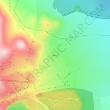
Name: Ujina topographic map, elevation, terrain.
Average elevation: 14,088 ft
Minimum elevation: 13,615 ft
Maximum elevation: 14,770 ft

Click on the map to display elevation.
Name: Ujina topographic map, elevation, terrain.
Average elevation: 14,088 ft
Minimum elevation: 13,615 ft
Maximum elevation: 14,770 ft