
Dorking topographic map
Interactive map
Click on the map to display elevation.
About this map
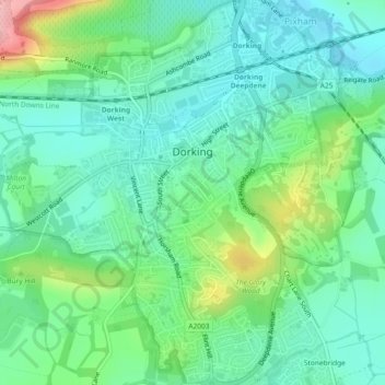
Name: Dorking topographic map, elevation, terrain.
Location: Dorking, Mole Valley, Surrey, England, United Kingdom (51.21505 -0.34847 51.24386 -0.32072)
Average elevation: 262 ft
Minimum elevation: 128 ft
Maximum elevation: 614 ft