
Zăvoi topographic map
Interactive map
Click on the map to display elevation.
About this map
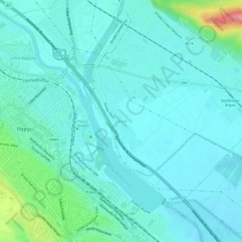
Name: Zăvoi topographic map, elevation, terrain.
Location: Zăvoi, Ștefănești, Argeș, 117723, Romania (44.83854 24.87442 44.87854 24.91442)
Average elevation: 896 ft
Minimum elevation: 827 ft
Maximum elevation: 1,263 ft