
Eißendorf topographic map
Interactive map
Click on the map to display elevation.
About this map
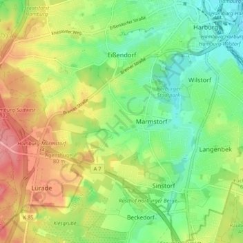
Name: Eißendorf topographic map, elevation, terrain.
Location: Eißendorf, Harburg, Hamburg, Deutschland (53.41404 9.90670 53.46145 9.97706)
Average elevation: 144 ft
Minimum elevation: 3 ft
Maximum elevation: 338 ft
Other topographic maps
Click on a map to view its topography, its elevation and its terrain.