
Dunblane topographic map
Interactive map
Click on the map to display elevation.
About this map
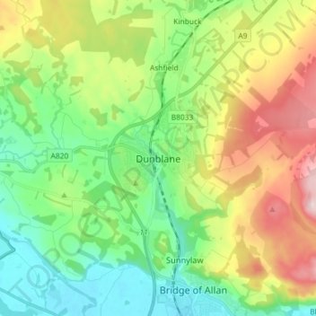
Name: Dunblane topographic map, elevation, terrain.
Location: Dunblane, Stirling, Écosse, FK15 0AY, Royaume-Uni (56.14831 -4.00409 56.22831 -3.92409)
Average elevation: 384 ft
Minimum elevation: 10 ft
Maximum elevation: 1,076 ft