La Cluse topographic map
Interactive map
Click on the map to display elevation.
About this map
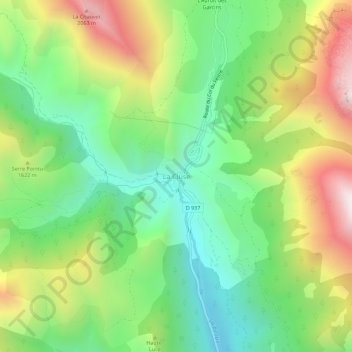
Name: La Cluse topographic map, elevation, terrain.
Average elevation: 4,954 ft
Minimum elevation: 3,619 ft
Maximum elevation: 7,054 ft

Click on the map to display elevation.
Name: La Cluse topographic map, elevation, terrain.
Average elevation: 4,954 ft
Minimum elevation: 3,619 ft
Maximum elevation: 7,054 ft