Geolocate

Tarague Beach topographic map

Click on the map to display elevation.

About this map

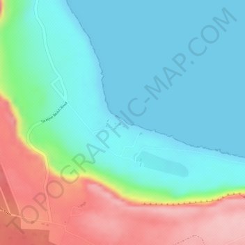
Name: Tarague Beach topographic map, elevation, terrain.

Location: Tarague Beach, Yigo Municipality, Guam, United States (13.60541 144.90714 13.60551 144.90724)

Average elevation: 180 ft

Minimum elevation: 0 ft

Maximum elevation: 574 ft

Guam trails, hiking, mountain biking, running and outdoor activities

Gear up for your next adventure:

💧Water Filtration Bottles - Safely drink from streams and lakes while exploring
🩳Quick‑Dry Hiking Shorts - Comfortable and quick‑dry shorts for summer hiking
🔌USB Car Charger - Car charger for on‑the‑go power needs
🪶Camping Sleeping Pad - Comfortable sleeping pad for backpacking
🛡️Bear Spray Outdoor - Protection in bear country hikes

As an Amazon Associate, this site earns from qualifying purchases at no extra cost to you.