Río Bogotá topographic map
Interactive map
Click on the map to display elevation.
About this map
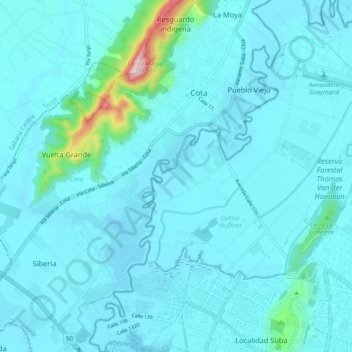
Name: Río Bogotá topographic map, elevation, terrain.
Average elevation: 8,458 ft
Minimum elevation: 8,310 ft
Maximum elevation: 10,098 ft

Click on the map to display elevation.
Name: Río Bogotá topographic map, elevation, terrain.
Average elevation: 8,458 ft
Minimum elevation: 8,310 ft
Maximum elevation: 10,098 ft