
White Springs topographic map
Interactive map
Click on the map to display elevation.
About this map
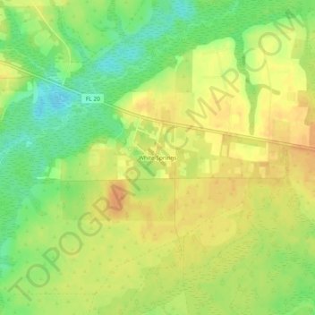
Name: White Springs topographic map, elevation, terrain.
Location: White Springs, Liberty County, Florida, USA (30.39888 -84.93783 30.43888 -84.89783)
Average elevation: 148 ft
Minimum elevation: 79 ft
Maximum elevation: 194 ft