
Cát Bà topographic map
Interactive map
Click on the map to display elevation.
About this map
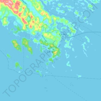
Name: Cát Bà topographic map, elevation, terrain.
Location: Cát Bà, Cát Hải District, Haiphong, Vietnam (20.69111 107.02560 20.75821 107.11500)
Average elevation: 49 ft
Minimum elevation: -16 ft
Maximum elevation: 702 ft