
Ministro topographic map
Interactive map
Click on the map to display elevation.
About this map
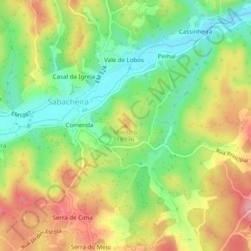
Name: Ministro topographic map, elevation, terrain.
Location: Ministro, Tomar, Santarém, Portugal (39.67478 -8.47461 39.67488 -8.47451)
Average elevation: 472 ft
Minimum elevation: 282 ft
Maximum elevation: 692 ft
Other topographic maps
Click on a map to view its topography, its elevation and its terrain.
Mata Nacional dos Sete Montes
Portugal > Santarém > Tomar > Casal dos Peixinhos
Mata Nacional dos Sete Montes, Casal dos Peixinhos, Tomar (São João Baptista) e Santa Maria dos Olivais, Tomar, Santarém, 2300-551, Portugal
Average elevation: 335 ft
Casais e Alviobeira
Casais e Alviobeira, Tomar, Santarém, Portugal
Average elevation: 594 ft
Fonte São Miguel
Fonte São Miguel, Carregueiros, Tomar, Santarém, 2305-176, Portugal
Average elevation: 531 ft