
Mills Township topographic map
Interactive map
Click on the map to display elevation.
About this map
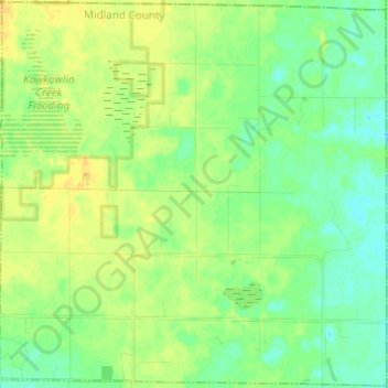
Name: Mills Township topographic map, elevation, terrain.
Location: Mills Township, Midland County, Michigan, United States (43.74036 -84.28905 43.82764 -84.16703)
Average elevation: 679 ft
Minimum elevation: 646 ft
Maximum elevation: 715 ft
Other topographic maps
Click on a map to view its topography, its elevation and its terrain.
Coleman
United States > Michigan > Midland County
Coleman, Midland County, Michigan, United States
Average elevation: 758 ft
Hope
United States > Michigan > Midland County
Hope, Hope Township, Midland County, Michigan, 48628, United States
Average elevation: 673 ft
Warren Township
United States > Michigan > Midland County
Warren Township, Midland County, Michigan, 48618, United States
Average elevation: 732 ft
Midland
United States > Michigan > Midland County
Midland, Midland County, Michigan, United States
Average elevation: 636 ft
Greendale Township
United States > Michigan > Midland County
Greendale Township, Midland County, Michigan, United States
Average elevation: 682 ft
Midland Township
United States > Michigan > Midland County
Midland Township, Midland County, Michigan, United States
Average elevation: 627 ft