
Golpilheira topographic map
Interactive map
Click on the map to display elevation.
About this map
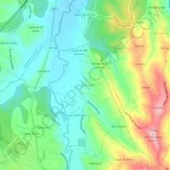
Name: Golpilheira topographic map, elevation, terrain.
Location: Golpilheira, Batalha, Leiria, 2440-231, Portugal (39.66573 -8.83880 39.70573 -8.79880)
Average elevation: 354 ft
Minimum elevation: 135 ft
Maximum elevation: 784 ft