
Bad Zwischenahn topographic map
Interactive map
Click on the map to display elevation.
About this map
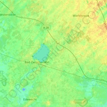
Name: Bad Zwischenahn topographic map, elevation, terrain.
Location: Bad Zwischenahn, Landkreis Ammerland, Nedersaksen, Duitsland (53.13088 7.89644 53.26471 8.16826)
Average elevation: 30 ft
Minimum elevation: -49 ft
Maximum elevation: 66 ft