
Taref topographic map
Interactive map
Click on the map to display elevation.
About this map
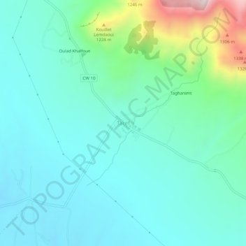
Name: Taref topographic map, elevation, terrain.
Location: Taref, Gosbat, Daïra de Ras El Aioun, Batna, Algérie (35.62767 5.43982 35.66767 5.47982)
Average elevation: 3,173 ft
Minimum elevation: 2,746 ft
Maximum elevation: 4,849 ft