
Tshibinda topographic map
Interactive map
Click on the map to display elevation.
About this map
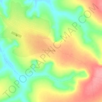
Name: Tshibinda topographic map, elevation, terrain.
Location: Tshibinda, Kasai, DR Kongo (-7.27000 20.88000 -7.23000 20.92000)
Average elevation: 2,182 ft
Minimum elevation: 2,014 ft
Maximum elevation: 2,356 ft