
Eimsbüttel topographic map
Interactive map
Click on the map to display elevation.
About this map
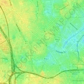
Name: Eimsbüttel topographic map, elevation, terrain.
Location: Eimsbüttel, Hamburg, Germany (53.56317 9.93511 53.58243 9.97750)
Average elevation: 66 ft
Minimum elevation: 23 ft
Maximum elevation: 98 ft
Other topographic maps
Click on a map to view its topography, its elevation and its terrain.