
Channel topographic map
Interactive map
Click on the map to display elevation.
About this map
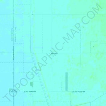
Name: Channel topographic map, elevation, terrain.
Location: Channel, Pemiscot County, Missouri, USA (36.03979 -89.96092 36.07979 -89.92092)
Average elevation: 249 ft
Minimum elevation: 243 ft
Maximum elevation: 262 ft