
Martin topographic map
Interactive map
Click on the map to display elevation.
About this map
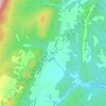
Name: Martin topographic map, elevation, terrain.
Location: Martin, Grant County, West Virginia, VS (39.20427 -79.10892 39.24427 -79.06892)
Average elevation: 1,467 ft
Minimum elevation: 1,020 ft
Maximum elevation: 2,671 ft