
Grantham topographic map
Interactive map
Click on the map to display elevation.
About this map
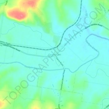
Name: Grantham topographic map, elevation, terrain.
Location: Grantham, Lockyer Valley Regional, Queensland, Australia (-27.59829 152.18080 -27.55829 152.22080)
Average elevation: 410 ft
Minimum elevation: 348 ft
Maximum elevation: 614 ft
Other topographic maps
Click on a map to view its topography, its elevation and its terrain.
Placid Hills
Australia > Queensland > Grantham
Placid Hills, Grantham, Queensland, Australia
Average elevation: 381 ft