
Logan topographic map
Interactive map
Click on the map to display elevation.
About this map
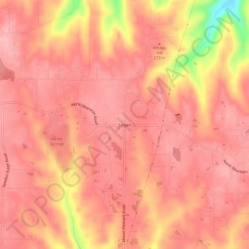
Name: Logan topographic map, elevation, terrain.
Location: Logan, Logan Township, Dearborn County, Indiana, 47060, USA (39.22811 -84.91468 39.26811 -84.87468)
Average elevation: 879 ft
Minimum elevation: 558 ft
Maximum elevation: 961 ft