
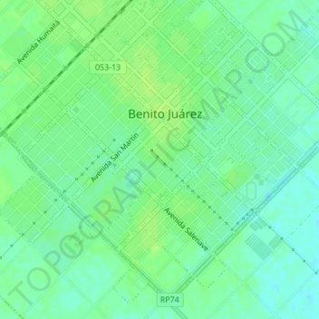
Mariano Roldán topographic map
Interactive map
Click on the map to display elevation.
About this map
Name: Mariano Roldán topographic map, elevation, terrain.
Average elevation: 699 ft
Minimum elevation: 676 ft
Maximum elevation: 712 ft
Other topographic maps
Click on a map to view its topography, its elevation and its terrain.
Villa España
Argentina > Buenos Aires > Benito Juárez
Villa España, Benito Juárez, Partido de Benito Juárez, Buenos Aires, Argentina
Average elevation: 696 ft