
Sidi Khellil topographic map
Interactive map
Click on the map to display elevation.
About this map
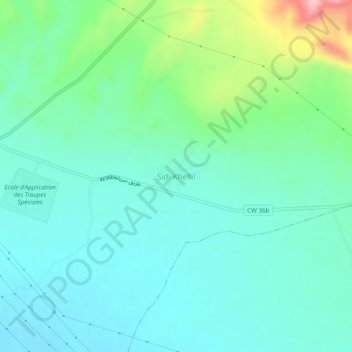
Name: Sidi Khellil topographic map, elevation, terrain.
Location: Sidi Khellil, Chetma, Daïra Sidi Okba, Biskra, Algérie (34.82273 5.85263 34.86273 5.89263)
Average elevation: 390 ft
Minimum elevation: 249 ft
Maximum elevation: 866 ft