Rémondans-Vaivre topographic map
Interactive map
Click on the map to display elevation.
About this map
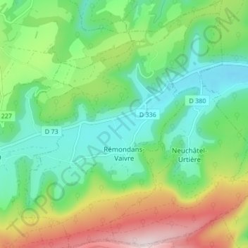
Name: Rémondans-Vaivre topographic map, elevation, terrain.
Average elevation: 1,696 ft
Minimum elevation: 1,201 ft
Maximum elevation: 2,697 ft

Click on the map to display elevation.
Name: Rémondans-Vaivre topographic map, elevation, terrain.
Average elevation: 1,696 ft
Minimum elevation: 1,201 ft
Maximum elevation: 2,697 ft