
Tegen topographic map
Interactive map
Click on the map to display elevation.
About this map
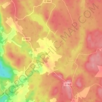
Name: Tegen topographic map, elevation, terrain.
Location: Tegen, Tanums kommun, Västra Götaland County, Sweden (58.74014 11.60452 58.78014 11.64452)
Average elevation: 420 ft
Minimum elevation: 157 ft
Maximum elevation: 551 ft