
Künsdorf topographic map
Interactive map
Click on the map to display elevation.
About this map
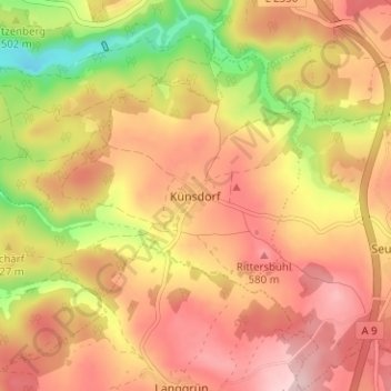
Name: Künsdorf topographic map, elevation, terrain.
Location: Künsdorf, Tanna, Saale-Orla-Kreis, Thüringen, Deutschland (50.45847 11.75464 50.49847 11.79464)
Average elevation: 1,716 ft
Minimum elevation: 1,289 ft
Maximum elevation: 1,995 ft