
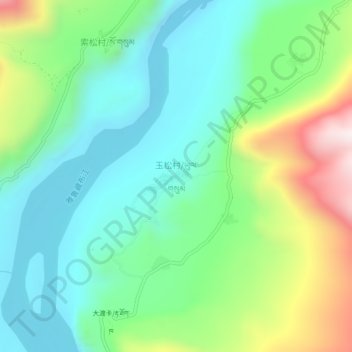
玉松村 topographic map
Interactive map
Click on the map to display elevation.
About this map
Name: 玉松村 topographic map, elevation, terrain.
Location: 玉松村, 派镇, 米林县, 林芝市, 西藏自治区, 中国 (29.54113 94.88072 29.58113 94.92072)
Average elevation: 10,289 ft
Minimum elevation: 9,508 ft
Maximum elevation: 12,133 ft