
Fischertal topographic map
Interactive map
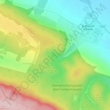
Click on the map to display elevation.
About this map
Name: Fischertal topographic map, elevation, terrain.
Average elevation: 771 ft
Minimum elevation: 423 ft
Maximum elevation: 1,286 ft
Other topographic maps
Click on a map to view its topography, its elevation and its terrain.
Kyffhäuser
Deutschland > Thüringen > Kyffhäuserkreis > Bad Frankenhausen/Kyffhäuser
Kyffhäuser, Bad Frankenhausen/Kyffhäuser, Kyffhäuserland, Kyffhäuserkreis, Thüringen, 99707, Deutschland
Average elevation: 725 ft