
Akers topographic map
Interactive map
Click on the map to display elevation.
About this map
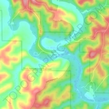
Name: Akers topographic map, elevation, terrain.
Location: Akers, Shannon County, Missouri, United States (37.35616 -91.57375 37.39616 -91.53375)
Average elevation: 935 ft
Minimum elevation: 758 ft
Maximum elevation: 1,181 ft