
茶坞铁路社区 topographic map
Interactive map
Click on the map to display elevation.
About this map
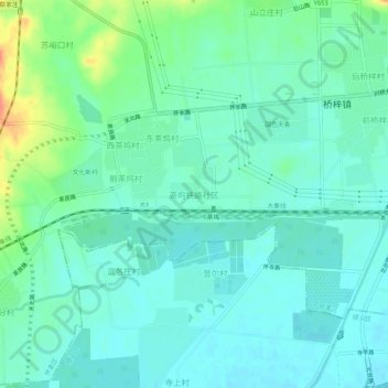
Name: 茶坞铁路社区 topographic map, elevation, terrain.
Location: 茶坞铁路社区, 怀柔区, 北京市, 中国 (40.25960 116.52919 40.29960 116.56919)
Average elevation: 210 ft
Minimum elevation: 171 ft
Maximum elevation: 331 ft