
Arusha National Park topographic map
Interactive map
Click on the map to display elevation.
About this map
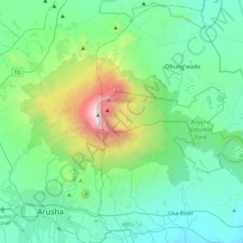
Name: Arusha National Park topographic map, elevation, terrain.
Average elevation: 5,118 ft
Minimum elevation: 3,576 ft
Maximum elevation: 10,666 ft