
Aitape District topographic map
Interactive map
Click on the map to display elevation.
About this map
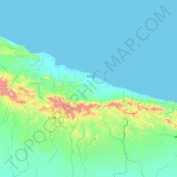
Name: Aitape District topographic map, elevation, terrain.
Location: Aitape District, Sandaun, Momase Region, Papua-Neuguinea (-3.95000 141.63333 -2.55000 143.03333)
Average elevation: 492 ft
Minimum elevation: -3 ft
Maximum elevation: 6,047 ft