
San Cayetano topographic map
Interactive map
Click on the map to display elevation.
About this map
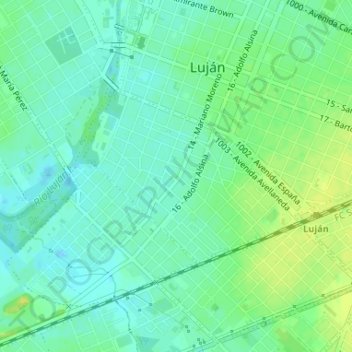
Name: San Cayetano topographic map, elevation, terrain.
Average elevation: 79 ft
Minimum elevation: 52 ft
Maximum elevation: 108 ft
Other topographic maps
Click on a map to view its topography, its elevation and its terrain.
San Bernardo
Argentina > Buenos Aires > Luján
San Bernardo, Luján, Partido de Luján, Buenos Aires, 6700, Argentina
Average elevation: 72 ft