Punta Gnifetti topographic map
Interactive map
Click on the map to display elevation.
About this map
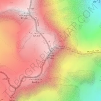
Name: Punta Gnifetti topographic map, elevation, terrain.
Average elevation: 12,730 ft
Minimum elevation: 8,802 ft
Maximum elevation: 15,154 ft

Click on the map to display elevation.
Name: Punta Gnifetti topographic map, elevation, terrain.
Average elevation: 12,730 ft
Minimum elevation: 8,802 ft
Maximum elevation: 15,154 ft