
Sedielos topographic map
Interactive map
Click on the map to display elevation.
About this map
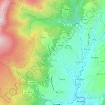
Name: Sedielos topographic map, elevation, terrain.
Location: Sedielos, Peso da Régua, Vila Real, Portugal (41.18463 -7.89409 41.22589 -7.84380)
Average elevation: 2,034 ft
Minimum elevation: 837 ft
Maximum elevation: 4,052 ft