
Las Pocitas "Grutas de Tolantongo" topographic map
Interactive map
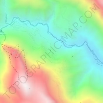
Click on the map to display elevation.
About this map
Name: Las Pocitas "Grutas de Tolantongo" topographic map, elevation, terrain.
Average elevation: 5,066 ft
Minimum elevation: 3,786 ft
Maximum elevation: 6,850 ft