
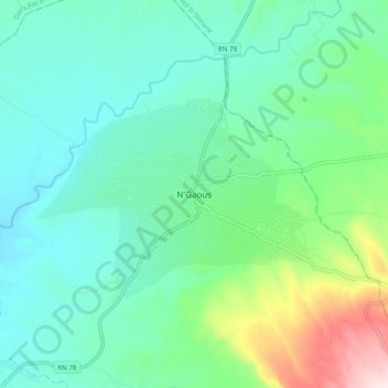
N'Gaous topographic map
Interactive map
Click on the map to display elevation.
About this map
Name: N'Gaous topographic map, elevation, terrain.
Location: N'Gaous, Daïra N'Gaous, Batna, 05600, Algérie (35.51473 5.57085 35.59473 5.65085)
Average elevation: 2,523 ft
Minimum elevation: 2,129 ft
Maximum elevation: 3,852 ft
La ville de N'Gaous se situe dans une région montagneuse, à 770 m d'altitude, proche du massif montagneux de Belezma.