
San Pedro Hill topographic map
Interactive map
Click on the map to display elevation.
About this map
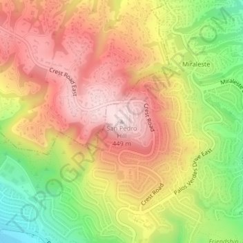
Name: San Pedro Hill topographic map, elevation, terrain.
Average elevation: 935 ft
Minimum elevation: 223 ft
Maximum elevation: 1,486 ft
Other topographic maps
Click on a map to view its topography, its elevation and its terrain.
Miraleste
United States > California > Los Angeles County > Rancho Palos Verdes
Miraleste, Rancho Palos Verdes, Los Angeles County, California, 90732, United States
Average elevation: 659 ft