
Forest Den National Park topographic map
Interactive map
Click on the map to display elevation.
About this map
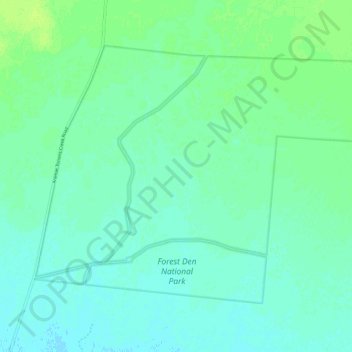
Name: Forest Den National Park topographic map, elevation, terrain.
Average elevation: 801 ft
Minimum elevation: 784 ft
Maximum elevation: 820 ft