
Rangpo topographic map
Interactive map
Click on the map to display elevation.
About this map
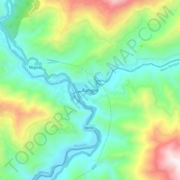
Name: Rangpo topographic map, elevation, terrain.
Location: Rangpo, Pakyong, East Sikkim District, Sikkim, 737132, India (27.13444 88.49034 27.21444 88.57034)
Average elevation: 2,398 ft
Minimum elevation: 814 ft
Maximum elevation: 6,158 ft