
Maybole topographic map
Interactive map
Click on the map to display elevation.
About this map
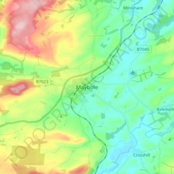
Name: Maybole topographic map, elevation, terrain.
Location: Maybole, South Ayrshire, Schotland, KA19 7DG, VK (55.31359 -4.72433 55.39359 -4.64433)
Average elevation: 374 ft
Minimum elevation: 115 ft
Maximum elevation: 922 ft