
Athboy topographic map
Interactive map
Click on the map to display elevation.
About this map
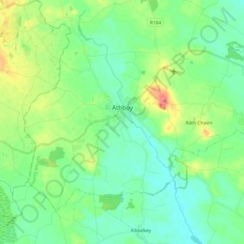
Name: Athboy topographic map, elevation, terrain.
Location: Athboy, County Meath, Leinster, Ireland (53.57887 -6.98856 53.65399 -6.81588)
Average elevation: 240 ft
Minimum elevation: 187 ft
Maximum elevation: 371 ft