
Bandha topographic map
Interactive map
Click on the map to display elevation.
About this map
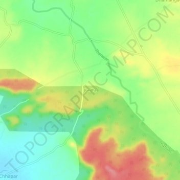
Name: Bandha topographic map, elevation, terrain.
Location: Bandha, Nainpur Tahsil, Mandla, Madhya Pradesh, India (22.46886 80.17738 22.50886 80.21738)
Average elevation: 1,680 ft
Minimum elevation: 1,545 ft
Maximum elevation: 1,847 ft