
Río Corobicí topographic map
Interactive map
Click on the map to display elevation.
About this map
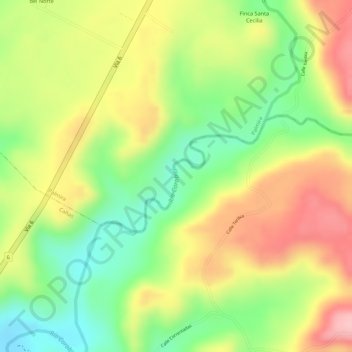
Name: Río Corobicí topographic map, elevation, terrain.
Average elevation: 522 ft
Minimum elevation: 243 ft
Maximum elevation: 787 ft
Other topographic maps
Click on a map to view its topography, its elevation and its terrain.
Río Tenorio
Costa Rica > Provincia Guanacaste > Cañas
Río Tenorio, Cañas, Cantón Cañas, Provincia Guanacaste, 50601, Costa Rica
Average elevation: 115 ft