
Roxton topographic map
Interactive map
Click on the map to display elevation.
About this map
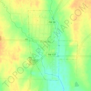
Name: Roxton topographic map, elevation, terrain.
Location: Roxton, Lamar County, Texas, 75477, États-Unis (33.53463 -95.73195 33.55544 -95.71427)
Average elevation: 522 ft
Minimum elevation: 459 ft
Maximum elevation: 564 ft