
Yingkou topographic map
Interactive map
Click on the map to display elevation.
About this map
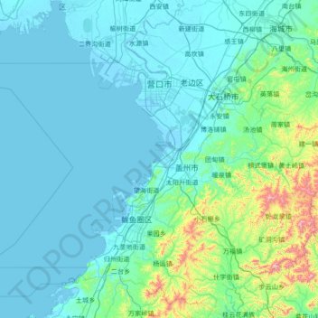
Name: Yingkou topographic map, elevation, terrain.
Location: Yingkou, Liaoning, 115000, Chine (39.91899 121.94410 40.93845 123.00130)
Average elevation: 315 ft
Minimum elevation: -7 ft
Maximum elevation: 3,629 ft